Remote sensing & Earth observation
We read your ground from space — surface mineralogy, structure and terrain — then fuse it with the geoscience beneath the surface.
Sign up freeMineral systems leave a footprint at surface that is far larger than the ore body itself: haloes of altered minerals, a distinctive structural grain, and a characteristic terrain expression. Earth observation lets MineDSS map that footprint consistently across whole countries, at no cost to you and with no field mobilisation — the first, cheapest filter on where a deposit could be. We build on established public satellite and elevation missions, so the coverage is national, repeatable and current.
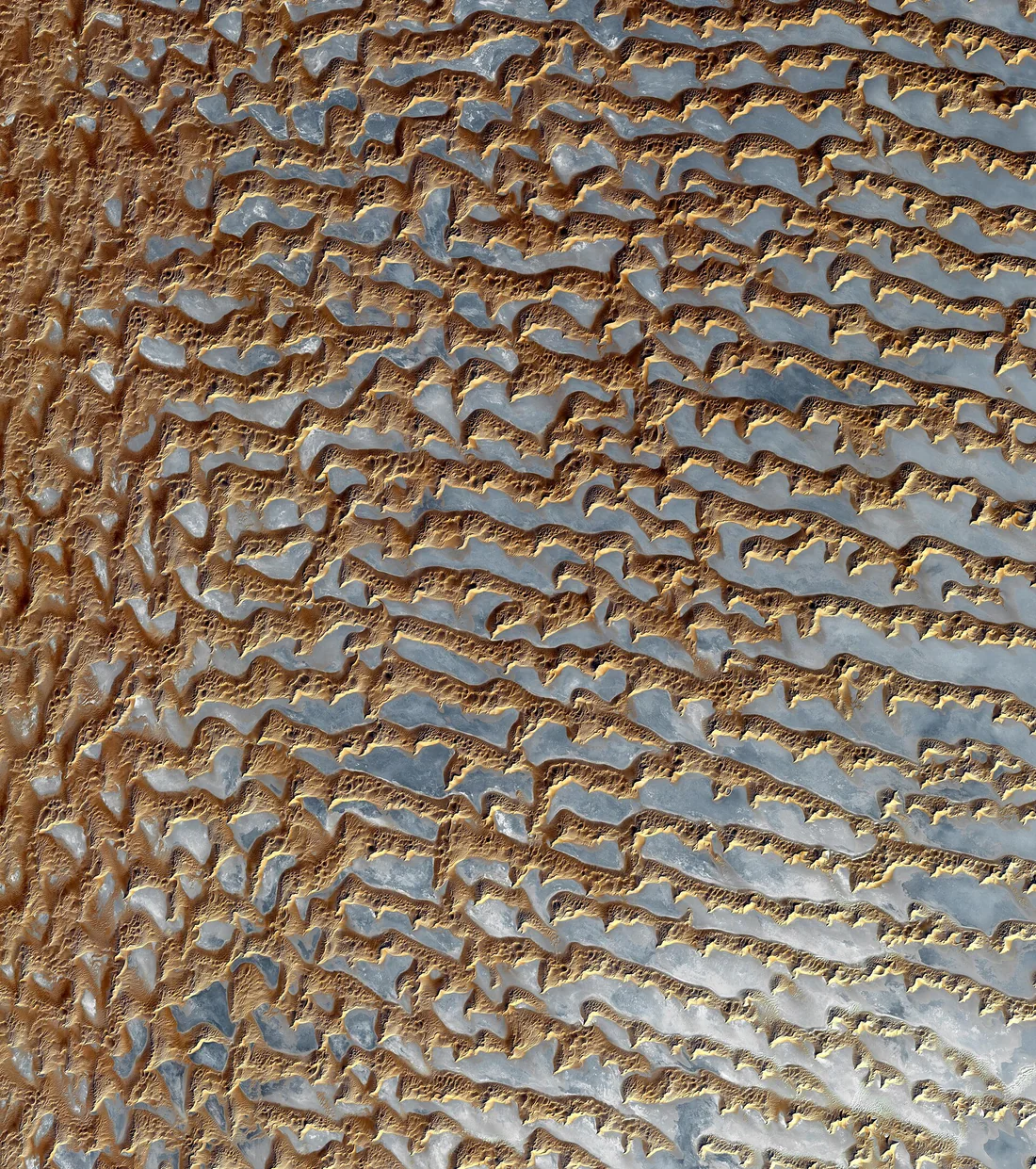
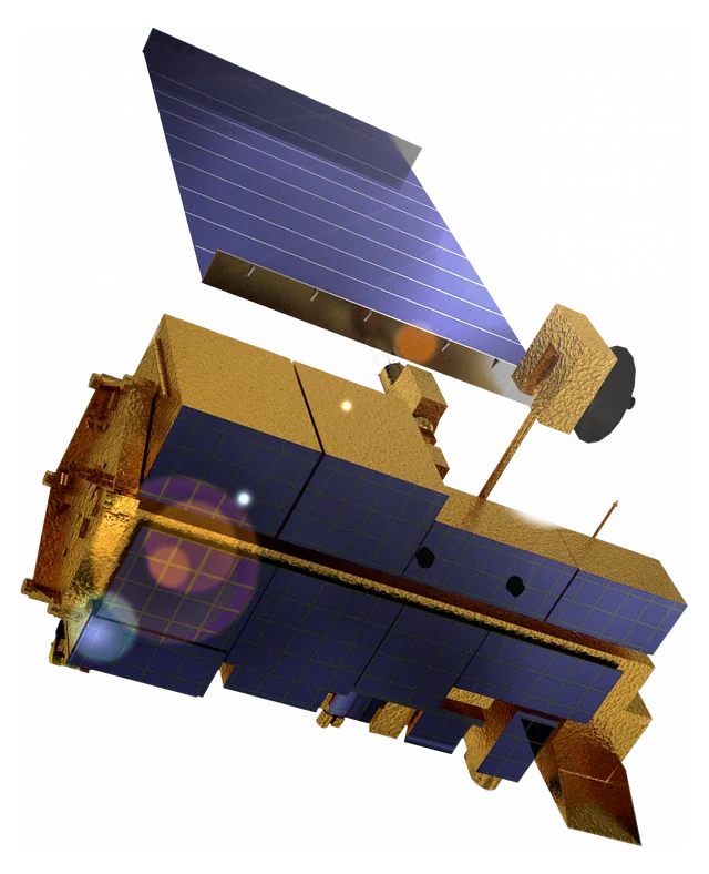
Three ways we read the ground from space.
Each satellite and elevation layer answers a different question — mineralogy, structure, or terrain.
Optical & multispectral imagery
Surface mineralogy and hydrothermal alteration
Different minerals reflect and absorb light in distinctive ways. Multispectral imagery lets us map the alteration mineral groups that fringe a mineral system — informed by the public USGS spectral reference library so the mineralogy is grounded in measured spectra, not guesswork.
Radar (synthetic-aperture)
Surface texture, roughness and structural fabric
Radar senses the shape and roughness of the ground rather than its colour, so it sees through cloud, haze and darkness and picks out the structural grain — faults, lineaments and fabric — that so often controls where mineralisation sits.
Elevation & terrain (DEM)
Landform, slope, aspect and drainage
A digital elevation model turns the shape of the land into data — elevation, slope, aspect and landform. Terrain expresses the underlying geology and structure, and shapes how weathering, cover and geochemical dispersion behave across a survey area.
The alteration we map from orbit.
From multispectral imagery we map the alteration mineral groups that commonly halo a mineral system:
Clay & phyllosilicate (AlOH)
Sericite, illite and kaolinite — the argillic and phyllic alteration around many hydrothermal systems.
Chlorite & MgOH
Chlorite and epidote — the propylitic alteration that fringes porphyry and many vein systems.
Iron oxide
Haematite and goethite — gossans and weathered sulphide, a classic surface expression of buried mineralisation.
Carbonate
Calcite and dolomite — carbonate alteration and reactive host rocks that focus mineralising fluids.
Silica
Quartz and silicification — the silica caps and veins that mark many epithermal and intrusion-related systems.
Earth observation is one line of evidence — not the whole story.
Satellite data sees the surface; it cannot see through thick cover, and vegetation, soil and transported material all mute the signal. That is exactly why MineDSS never relies on it alone. Remote sensing is fused with national airborne and ground geophysics — which senses structure and rock property at depth — and with geochemistry, which carries the elemental fingerprint of the system. Each answers what the others cannot.
See how MineDSS fuses the layersCommon questions
Which satellite datasets does MineDSS use?
Established public Earth-observation missions: multispectral optical imagery (including ASTER and Sentinel-2) for surface mineralogy and alteration, synthetic-aperture radar (Sentinel-1) for texture and structure, and public elevation data (such as SRTM) for terrain. Mineralogy is informed by the public USGS spectral reference library.
What is alteration mapping, and why does it matter?
Mineralising fluids chemically change the rocks they pass through, leaving haloes of clay, chlorite, iron-oxide, carbonate and silica alteration far wider than the ore itself. Mapping those alteration groups from satellite imagery highlights ground with the right chemistry for a deposit — a first-pass filter across an entire region.
Does vegetation or cover limit satellite mapping?
Yes — optical imagery reads the surface, so dense vegetation, soil and transported cover mute the signal. MineDSS handles this by fusing radar and terrain with geophysics and geochemistry, which are far less affected by cover, and by flagging honestly where the surface signal is weak rather than over-reading it.
Is a satellite anomaly a discovery?
No. Remote sensing narrows the search and sharpens targeting; it is not a resource or reserve estimate (JORC / NI 43-101) and not a discovery. It is one evidence layer among several, weighed into an explainable, ranked target that the drill ultimately confirms.
See it on your ground.
Draw an area, pick a commodity, and explore the ranked targets and the evidence behind each.
Sign up free