MineDSS Atlas
What is actually known about this ground?
Every published geoscience layer for a country on one map and one vocabulary, with the publisher, date, scale and stated limits carried on every layer.
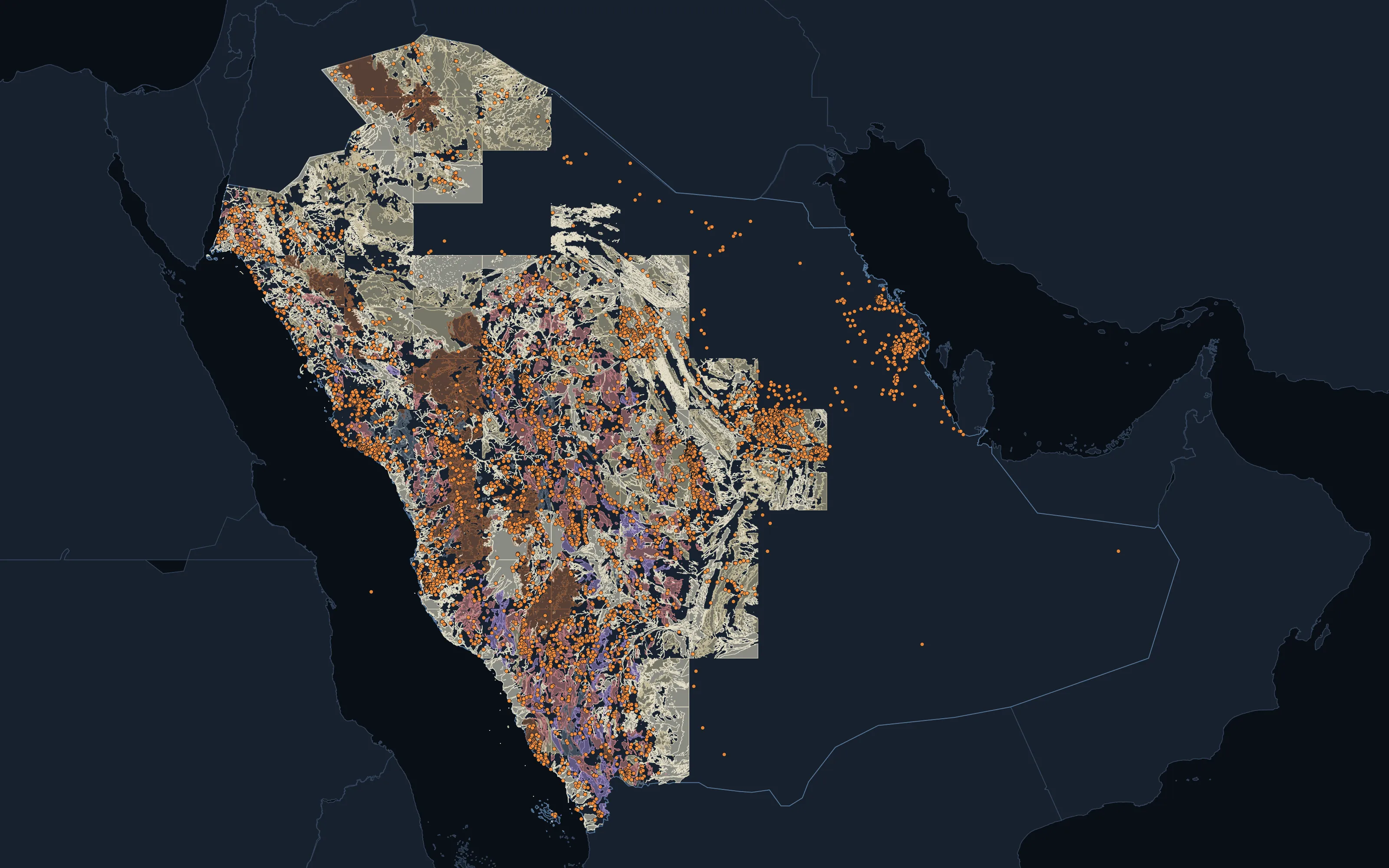
Saudi Arabia: national geology with mapped deposits and occurrences, as published by the Saudi Geological Survey.





























Data published by 80 organisations ·Names and logos belong to their owners; no endorsement or partnership is implied. All 80 sources
The problem
The data exists. It is just scattered.
A country's geoscience sits across surveys, registries, environment and parks agencies, each in its own format. The Atlas is that assembly done once, audited and kept current, so your first month goes on the decision, not the assembly.
- 28
- Atlases built
- Countries browsable today; another is a build, not a project
- 33.3M
- Mapped features
- Drawn across the built atlases
- 11,380
- Catalogued layers
- Every published layer found, whether or not it is loaded yet
- 56
- Countries held
- With at least one published layer in our holdings
Built atlases
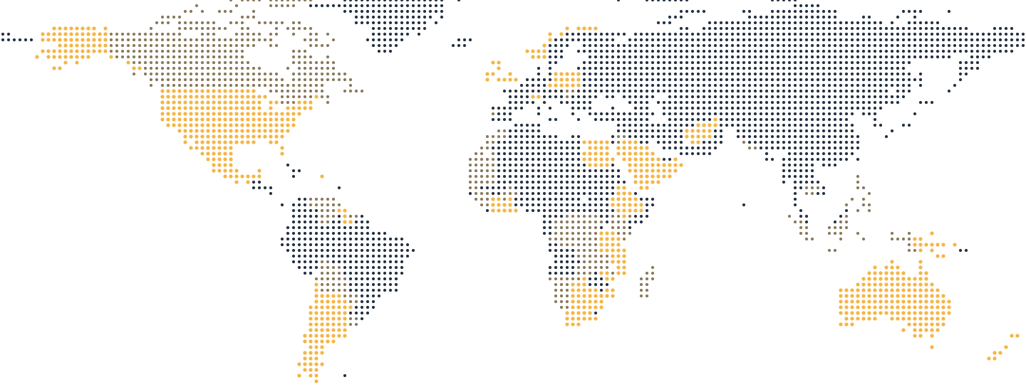
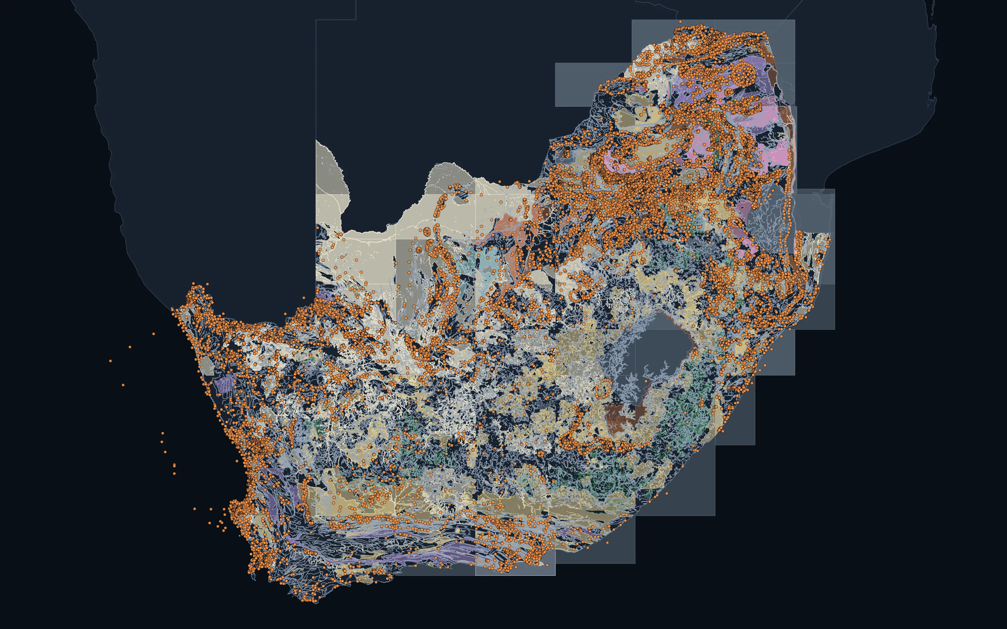
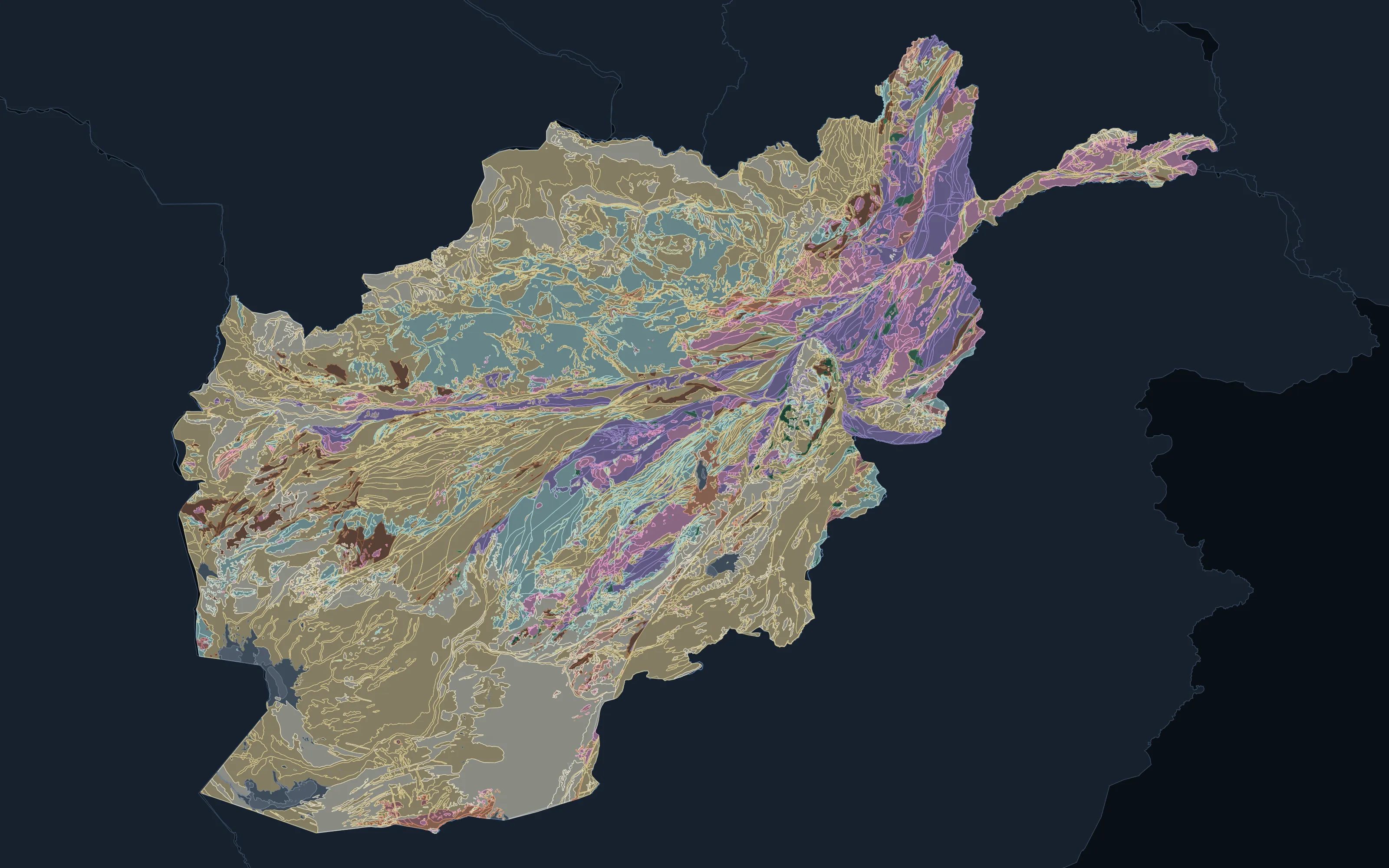
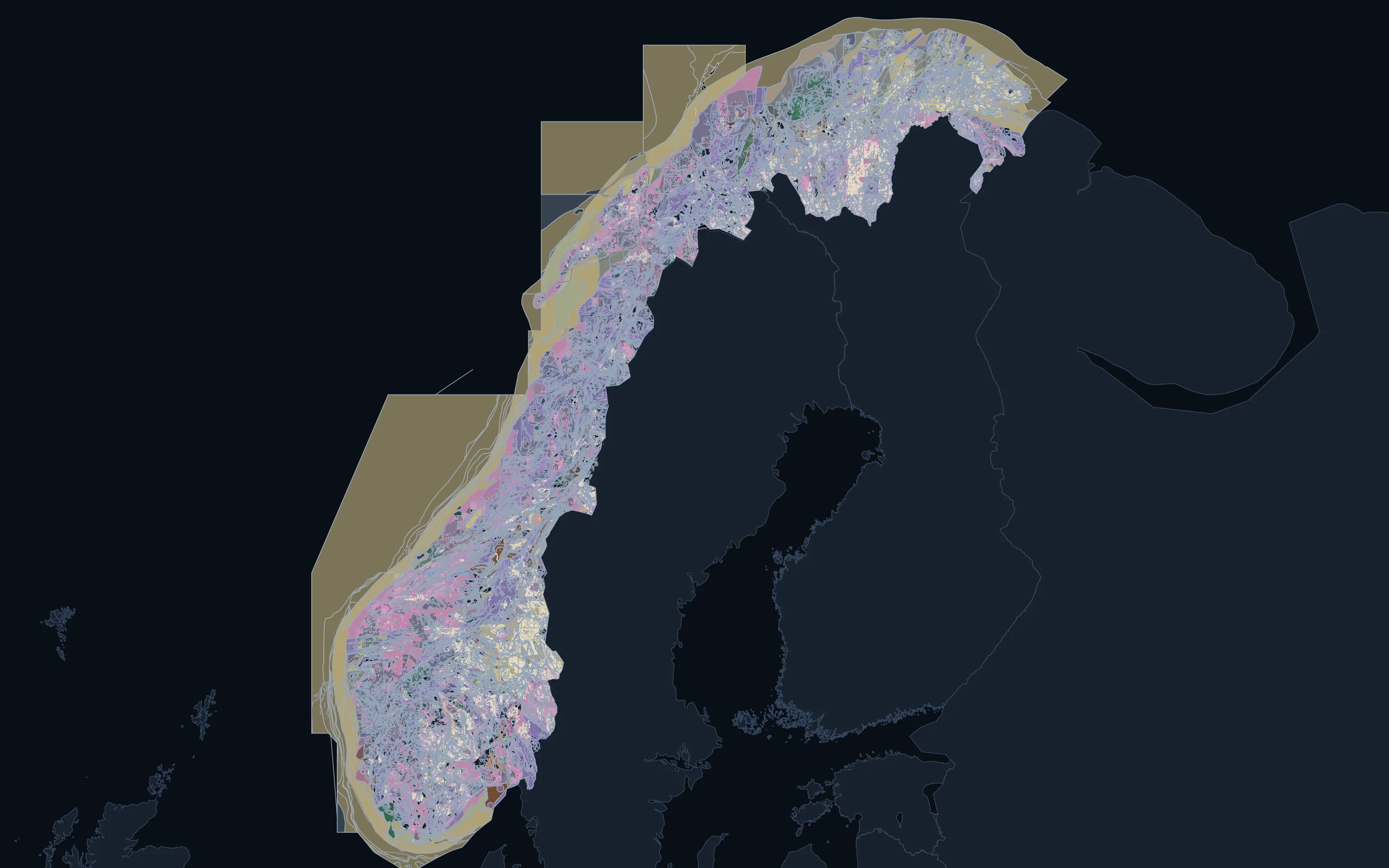
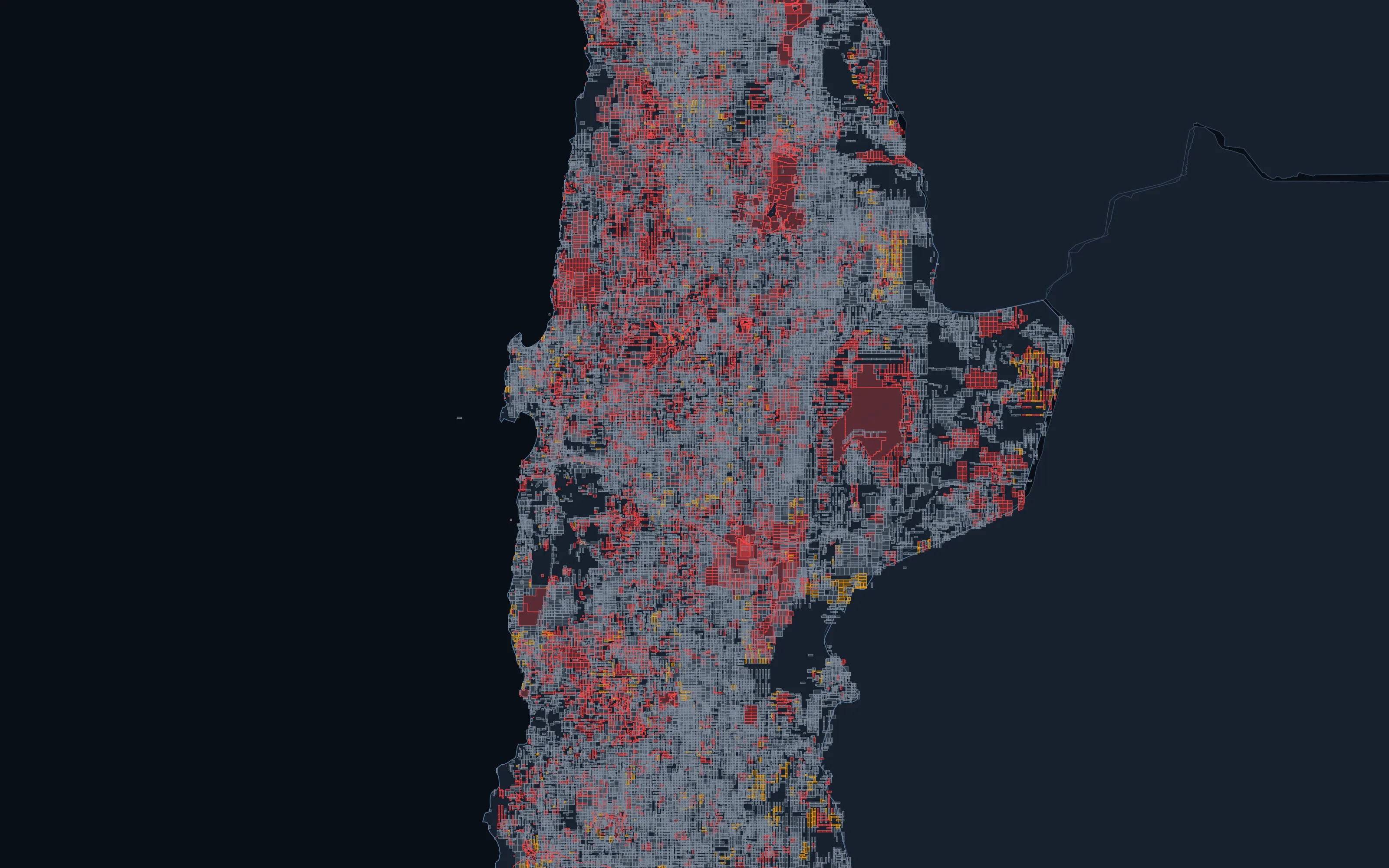
28 countries, one standard.
Every atlas is built the same way from each country's own publications, so the same question can be asked of any of them.
What an atlas holds
The layers, measured.
Counts are live from our holdings. A jurisdiction is a publisher's reporting unit (a state, a province or a nation), so the two columns on the right are different numbers, and we keep them apart.
| Layer | What it holds | Features | Jurisdictions | Countries |
|---|---|---|---|---|
| Geology | Mapped geological units, with lithology and age where the publisher states them | 6,356,791 | 57 | 40 |
| Structure | Faults, folds, lineaments and oriented structural measurements | 10,581,778 | 40 | 25 |
| Deposits and occurrences | Mineral deposits and recorded occurrences | 1,338,421 | 36 | 20 |
| Tenure | Exploration and mining titles from the licensing authorities' own registers | 8,719,310 | 65 | 48 |
| Protected and excluded ground | Parks, reserves and other ground withheld from mineral entry | 2,262,827 | 41 | 27 |
| Drillhole collars | Drillhole collars | 489,790 | 4 | 4 |
| Geochemical samples | Published assays of soil, stream sediment, rock and drill samples, on one analytical roster of 118 fields. Distinct samples: the 200,586,755 published records hold the same sample more than once, mostly the same publisher's data in two releases or an earlier compilation. | 110,012,442 | · | 34 |
Structure includes lineaments interpreted from imagery as well as mapped faults, contacts and oriented measurements; every row says which it is.
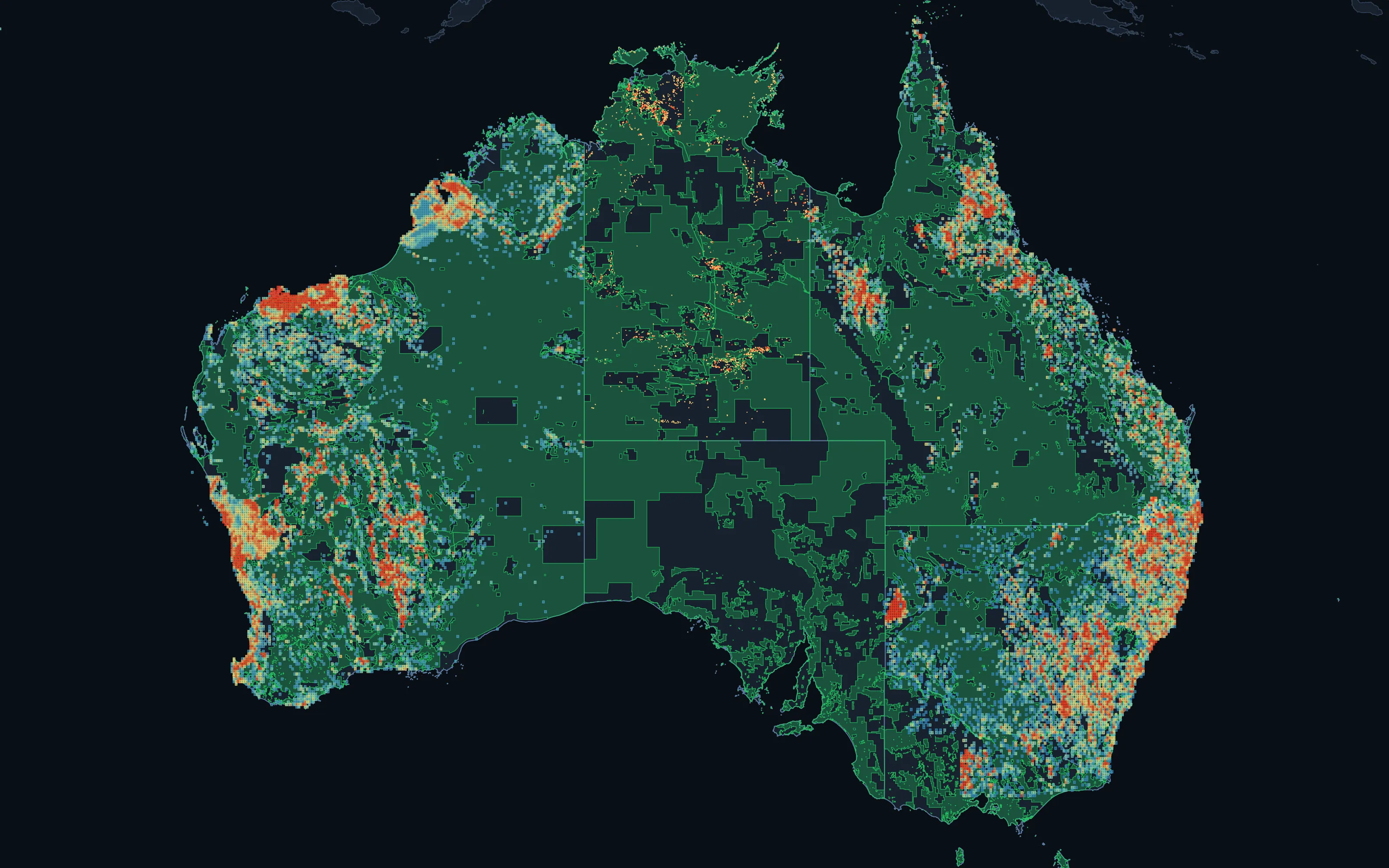
The geochemical holdings are concentrated: 94.8% of records are Australian. We tell you how deep a country's record runs before you plan around it.
Read more: deeper layers where the publisher releases them
400,000
Oriented structural measurements
Dips recorded in the field, across 6 jurisdictions
16,000
Measured absolute ages
On dated samples, across 5 jurisdictions
50,000
Element-resolved deposit grades
Québec, with the publisher's own selected samples flagged because they read high
580,000
Glacial landforms
Québec, including ice-flow indicators
Depth follows the publisher. Where a province publishes grades and landforms, the atlas carries them; where a country publishes only a national map, the atlas says that, and shows fewer layers rather than empty ones.
What it produces
The output.
Licences are checked before we scope the work: you receive as data only what each publisher permits, and otherwise the analysis and maps, with where to obtain the source.
A country atlas
Geology, structure, deposits, tenure, protected ground, drilling, geochemistry and survey coverage on one map with one legend.
Provenance on every layer
Publisher, snapshot date, mapping scale and stated limits, carried with the data.
Licensed data extracts
Harmonised layers in your GIS formats, wherever the publisher permits redistribution.
A coverage assessment
What a country publishes, what it does not, and what would have to be requested.
How an atlas is built.
- 01
Inventory
Every publishing authority for the country catalogued (surveys, registries, environment and parks agencies) before anything is fetched.
- 02
Acquire
Each layer taken from its publisher, with the licence and snapshot date recorded at the moment it was read.
- 03
Reconcile
Lithology, structure types and tenure classes mapped onto one vocabulary; ages resolved to a standard chronostratigraphy.
- 04
Audit
Features outside their own country, impossible values and publishers' placeholder codes found and handled in the open, never silently fixed.
- 05
Deliver
The atlas, the provenance, the licensed extracts and the written coverage assessment.
Straight talk
What this is, and what it isn't.
We would rather say less than claim more than the evidence supports.
It is
- A reconciliation of what authorities have published, with the publisher named on every layer
- Explicit about gaps: a country with geology but no register simply shows fewer layers
- Dated: every register is a snapshot, and says so
It is not
- New data: the Atlas is built from publications, and we do not fly surveys or take samples for it
- Uniform: depth and quality vary by country, and we tell you how
- A licence to redistribute what a publisher does not permit
Next in the workflow · 02
Open Ground
Where can I still get ground, and which of it is worth having?
Continue-
Partners
Exploration and mining companies interested in working with us.
-
Investors
The record, the models and the ground they point to.
-
Publishers and researchers
Geological surveys, universities and programmes whose work the record is built on.