Our data
The estate, measured.
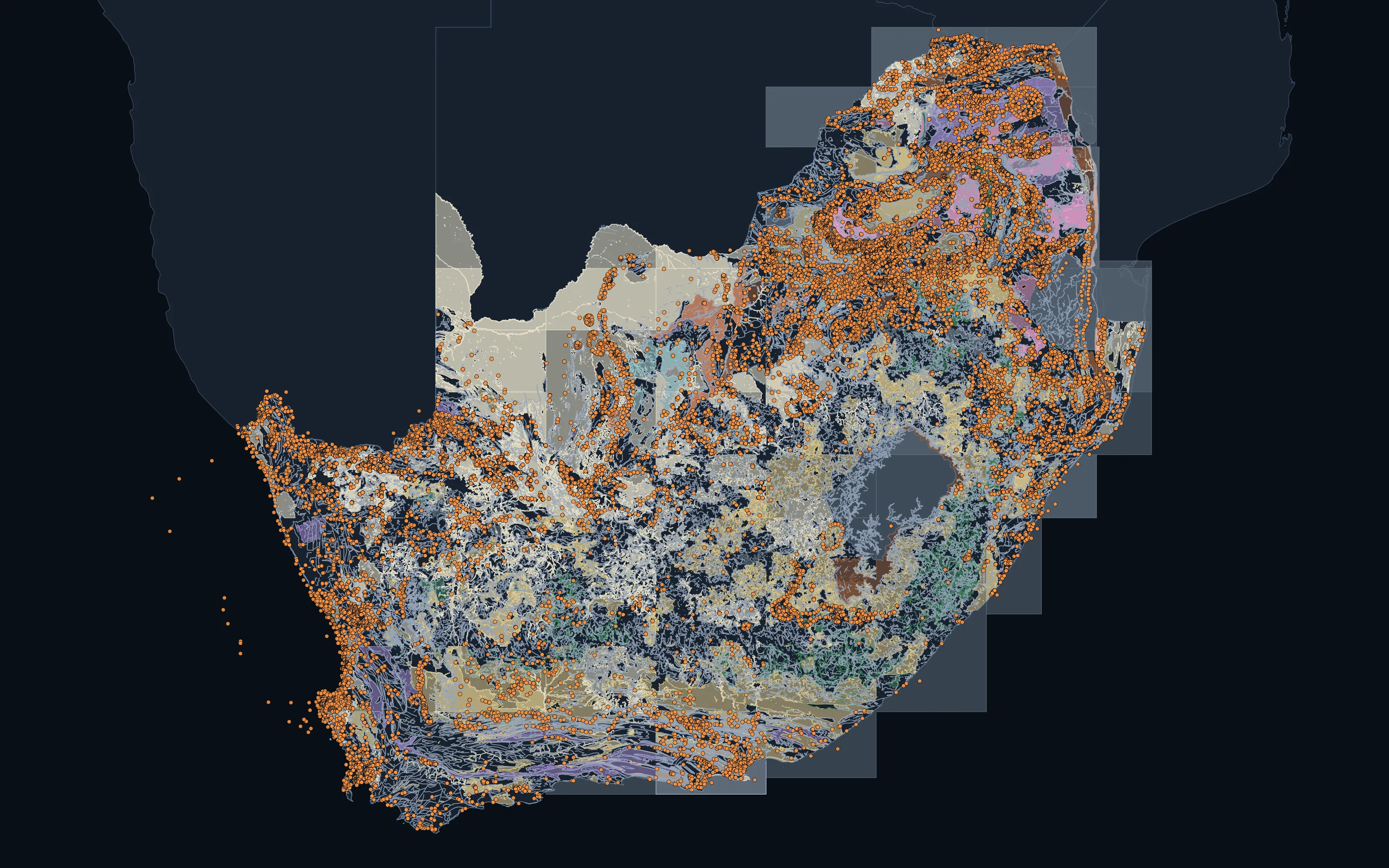
Every ranking draws on the same holdings: the published geoscience of 40 countries, reconciled onto one vocabulary, audited, and kept current. These are the numbers as they stand, generated from the data itself and never written by hand.
- 18.2M
- Geoscience features
- Geology, structure and deposits across 40 countries
- 8.7M
- Tenure records
- Live and historic titles from 48 countries' registers
- 110M
- Distinct samples
- From 162 published sources
- 1.01B
- Laboratory determinations
- Element, oxide and volatile values on those samples
Measured 2026-09-23



























Data published by 80 organisations ·Names and logos belong to their owners; no endorsement or partnership is implied. All 80 sources
Layer by layer
What we hold.
A jurisdiction is a publisher's reporting unit: a state, a province or a nation. A country is a country. The two columns are different numbers, and we keep them apart.
| Layer | What it holds | Features | Jurisdictions | Countries |
|---|---|---|---|---|
| Geology | Mapped geological units, with lithology and age where the publisher states them | 6,356,791 | 57 | 40 |
| Structure | Faults, folds, lineaments and oriented structural measurements | 10,581,778 | 40 | 25 |
| Deposits and occurrences | Mineral deposits and recorded occurrences | 1,338,421 | 36 | 20 |
| Tenure | Exploration and mining titles from the licensing authorities' own registers | 8,719,310 | 65 | 48 |
| Protected and excluded ground | Parks, reserves and other ground withheld from mineral entry | 2,262,827 | 41 | 27 |
| Drillhole collars | Drillhole collars | 489,790 | 4 | 4 |
| Geochemical samples | Published assays of soil, stream sediment, rock and drill samples, on one analytical roster of 118 fields. Distinct samples: the 200,586,755 published records hold the same sample more than once, mostly the same publisher's data in two releases or an earlier compilation. | 110,012,442 | · | 34 |
Structure includes lineaments interpreted from imagery as well as mapped faults, contacts and oriented measurements; every row says which it is.
The geochemical holdings are concentrated: 94.8% of records are Australian. We tell you how deep a country's record runs before you plan around it.
400,000
Oriented structural measurements
Dips recorded in the field, across 6 jurisdictions
16,000
Measured absolute ages
On dated samples, across 5 jurisdictions
11,000
Catalogued layers
Every published layer found, loaded or not
103
Raster products
Geophysics grids and airborne hyperspectral mineral maps
The geochemistry
Every element, on one roster.
1.01B laboratory determinations on 110M distinct samples, on one element roster that covers the full platinum-group suite and every rare-earth element, with yttrium and scandium.
The chart shows the share of samples with a reported value for each element. Select an element to see where we model it and what we do for it.
- Gold 49%
- Copper 37%
- Zinc 34%
- Nickel 29%
- Lead 27%
- Cobalt 25%
- Antimony 12%
- Tungsten 9.1%
- Gallium 7.6%
- Lithium 6.7%
- Tellurium 4.6%
- Indium 3.5%
- Neodymium 3.3%
- Germanium 3.1%
- Dysprosium 2.8%
Below the surface
The drill-core spectral archive.
Australia's national core library has scanned drill core with a hyperspectral instrument for years, from the visible to the thermal infrared. We hold the harvest, normalised, and paired with laboratory assays wherever the two can be lined up: what mineralised rock looks like to an instrument, and what it actually contains.
Scans published by the AuScope National Virtual Core Library with CSIRO and the state and territory geological surveys; the harvest, the normalisation and the pairing are ours.
What comes next- 489 million
- Drill-core spectra
- Individual measurements, visible to thermal infrared
- 6,546
- Scanned holes
- Totalling 2,498 km of hole
- 2,746
- Paired to assays
- Holes where the spectra line up with laboratory chemistry
Reach
Where we hold data.
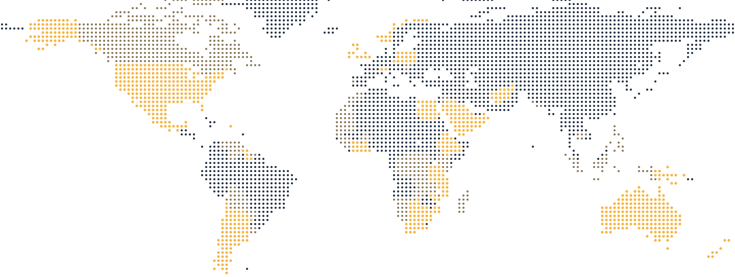
Published geoscience held for 56 countries, with a full country atlas built for 28 of them. Open ground is computed across 55 jurisdictions in 38 countries.
Sources and standards
Every publisher we hold, and the standards the data is kept to.
Partner
Spectral remote sensing, with GeoSpectra.
Australian specialists in spectral remote sensing and geospatial intelligence for mineral exploration. Our spectral and structural mapping is delivered with them, from free imagery to camp-scale WorldView-3.
geospectra.com.au ↗-
Partners
Exploration and mining companies interested in working with us.
-
Investors
The record, the models and the ground they point to.
-
Publishers and researchers
Geological surveys, universities and programmes whose work the record is built on.